Updated April 6th, 2026 @ 9:00 AM
Ullr’s Synopsis
Hello Everyone! And this is our last daily synopsis of the winter weather of 2025-2026. Yes, it wasn’t the best winter for skiing but it wasn’t the worst. Hopefully the powers that be will forge ahead with the much needed upgrades on the mountain to deal with such worst-case scenarios. Have a safe and happy summer!
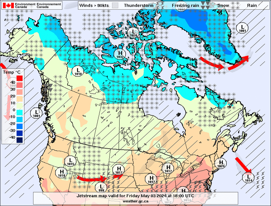
Environment Canada Forecast
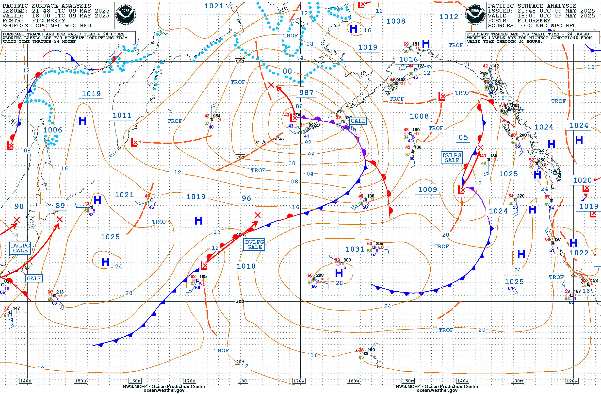
Storm Tracker
For higher resolution forcast, see Windy.com – Precipitation/Wind/Pressure Overlay 10 day Forecast
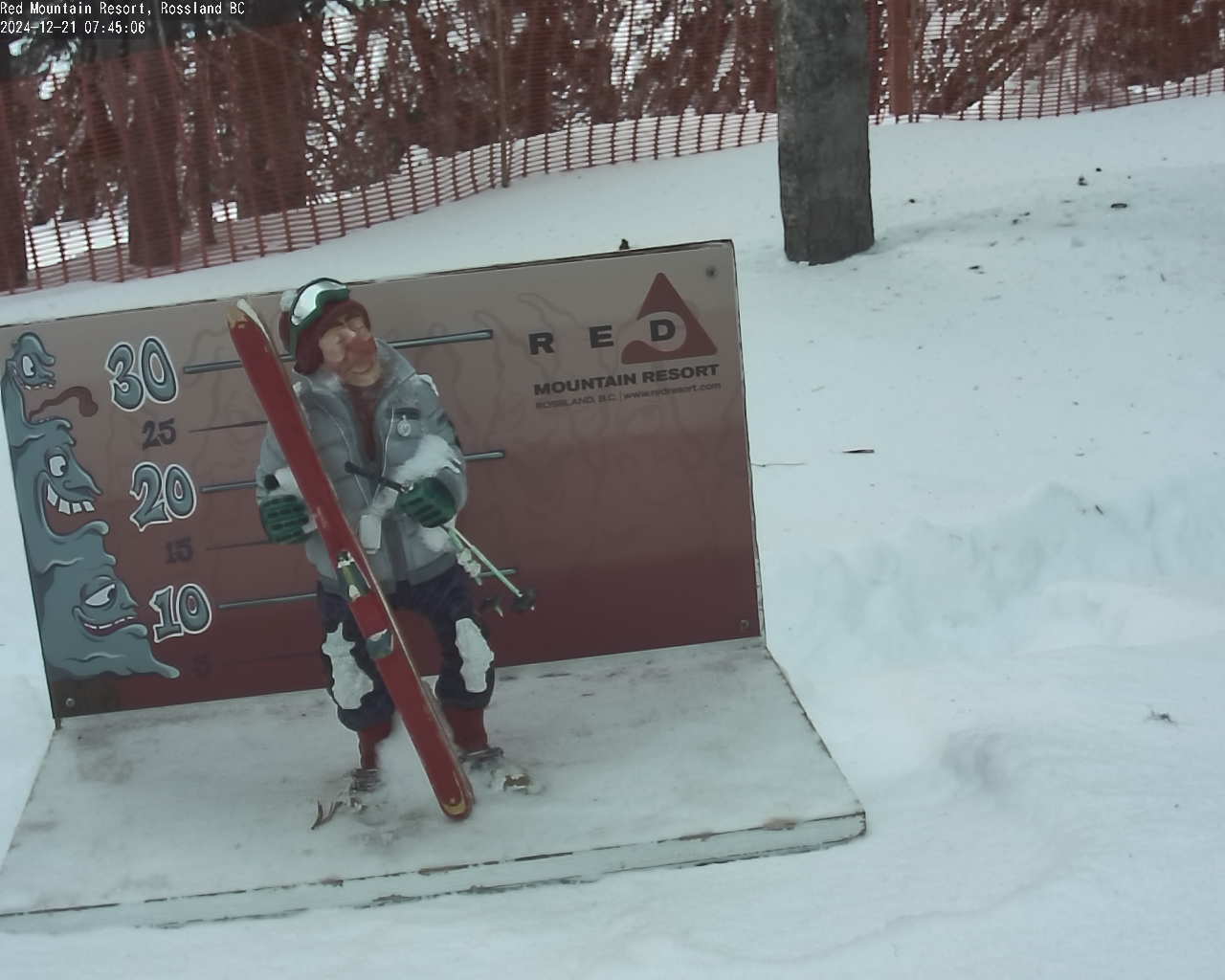
Red Mountain Resort
Elevations – 2064 to 1164 meters
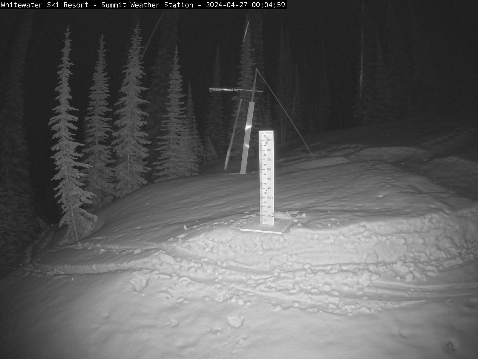
Whitewater Mountain Resort
Elevations – 2063 to 1390 meters
Avalanche Forecasts
Avalanche Canada’s – Mountain Weather Forecast
North West Avalanche Center’s – Mountain Weather Forecast
Association of Canadian Mountain Guides – Mountain Conditions Reports
Environment Canada – BC Traveller’s Forecast
Weather Manual / Glossary / Discussions
This page serves to aggregate many sources of relevant weather data and information found on line and is in constant development. We hope that the information here serves the outdoor sports community in helping make better decisions about their outdoor activities.
Although this page is geo-specific to Red and Granite Mountains near Rossland, BC, many of the tools apply to much of the Pacific North West.
For more information about weather in general, see weather and meteorology. And, for discussions about the bigger issue for our planet, see climate.
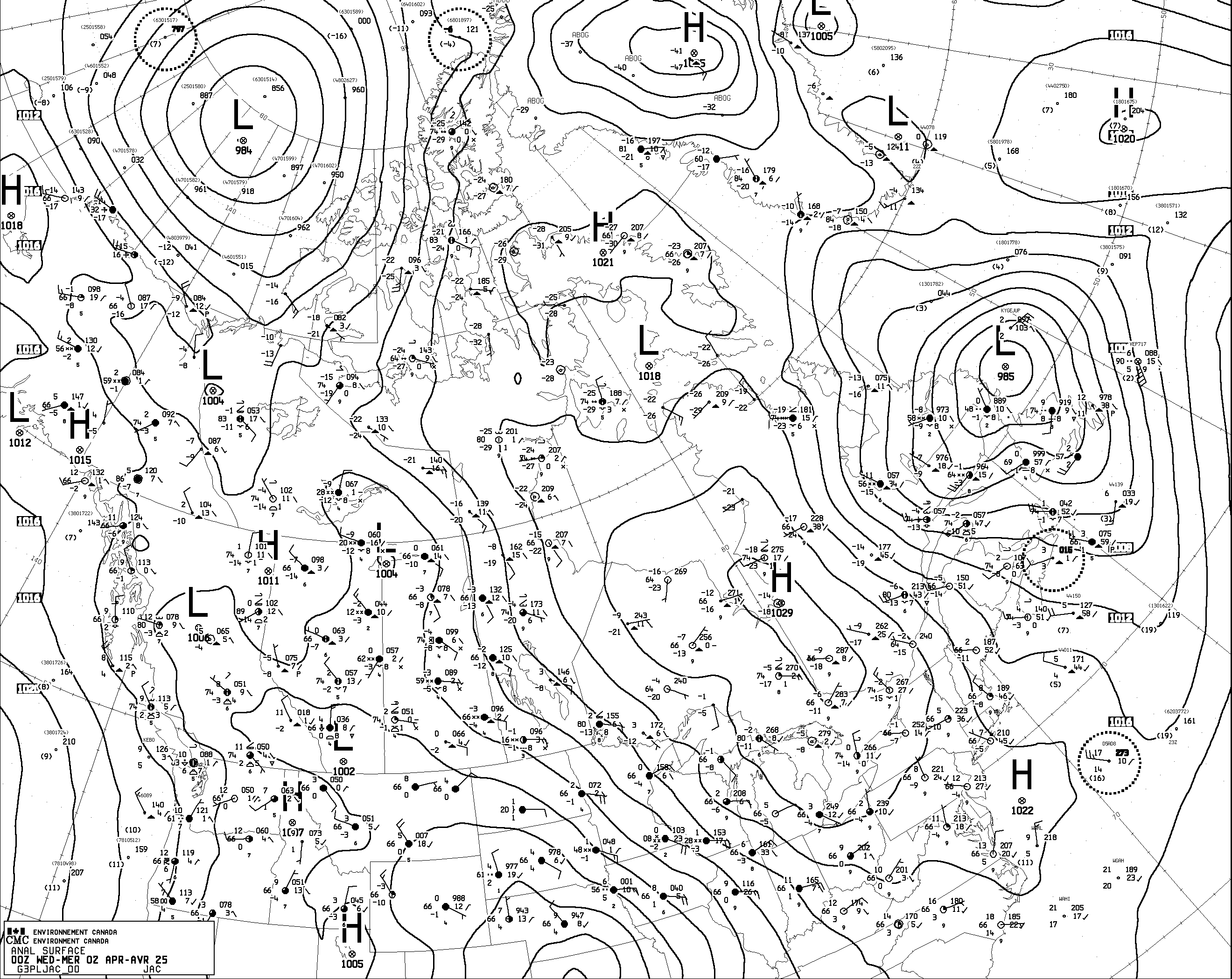
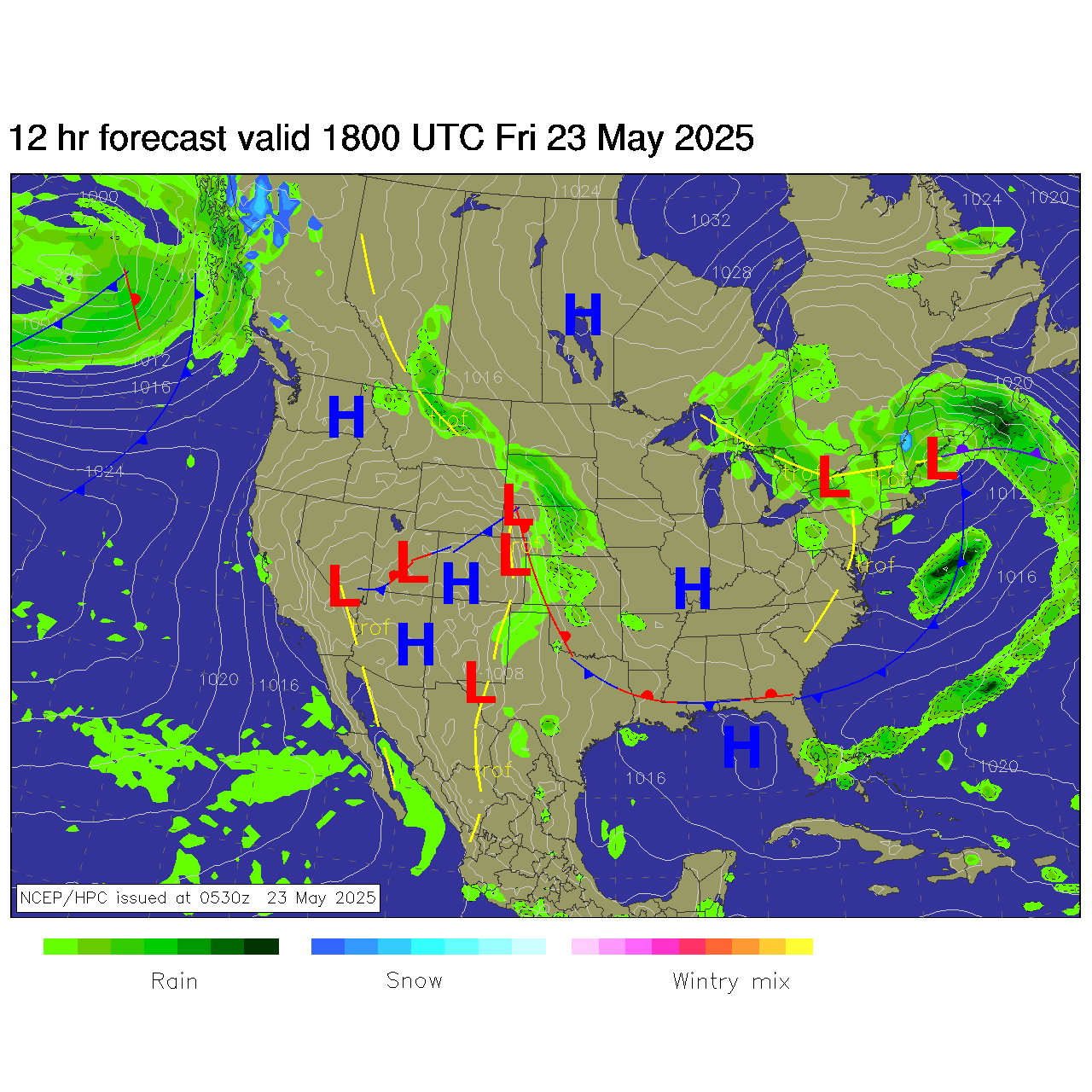
For a guide to weather map symbols, see here.
Pro Tip – Click on images to see larger view … Then, open image in new tab or window for even larger view. Refresh browser for latest image.
Please be aware that weather forecasts are very fluid and dynamic, they are in constant change. To this I present the “Five Day Rule of Weather Prediction” from Cliff Mass from his weather blog at https://cliffmass.blogspot.com .
“Predictions of severe or exciting weather for more than five days out should be considered with caution. Be VERY careful of hyping forecasts for longer periods. Be aware of the uncertainty of big events predicted at longer lead times.”
MJO – Maden-Jullian Oscillation (Wikipedia)
El Niño (Wikipedia)
La Niña (Wikipedia)
Acknowledgements
Paulson Summit to Kootenay Pass – High Elevation Text Forecast courtesy of Environment Canada.
Precipitation Forecast Video courtesy of The Weather Network
Weather imagery and data courtesy of AccuWeather, UNISYS, University of Washington – Atmospheric Sciences, The Weather Network, Canadian Avalanche Association and Intellicast.com
Special thanks to the Canadian Avalanche Association for their Kootenay Boundary Weather Forecast
Special thanks to Red Mountain Resort for their Web Cam feeds.
Special thanks to Whitewater Ski Resort for their Web Cam feeds.
Layout and page maintenance by Digital Synergy

