WINTER of 2024.
This page serves to aggregate many sources of relevant weather data and information found on line and is in constant development. We hope that the information here serves the outdoor sports community in helping make better decisions about their outdoor activities.
Although this page is geo-specific to Red and Granite Mountains near Rossland, BC, many of the tools apply to much of the Pacific North West.
For more information about weather in general, see weather and meteorology. And, for discussions about the bigger issue for our planet, see climate.
Please be aware that weather forecasts are very fluid and dynamic, they are in constant change. To this I present the “Five Day Rule of Weather Prediction” from Cliff Mass from his weather blog at https://cliffmass.blogspot.com .
“Predictions of severe or exciting weather for more than five days out should be considered with caution. Be VERY careful of hyping forecasts for longer periods. Be aware of the uncertainty of big events predicted at longer lead times.”
Ullr’s Stormcast
December 23, 2024 – 7:45 AM
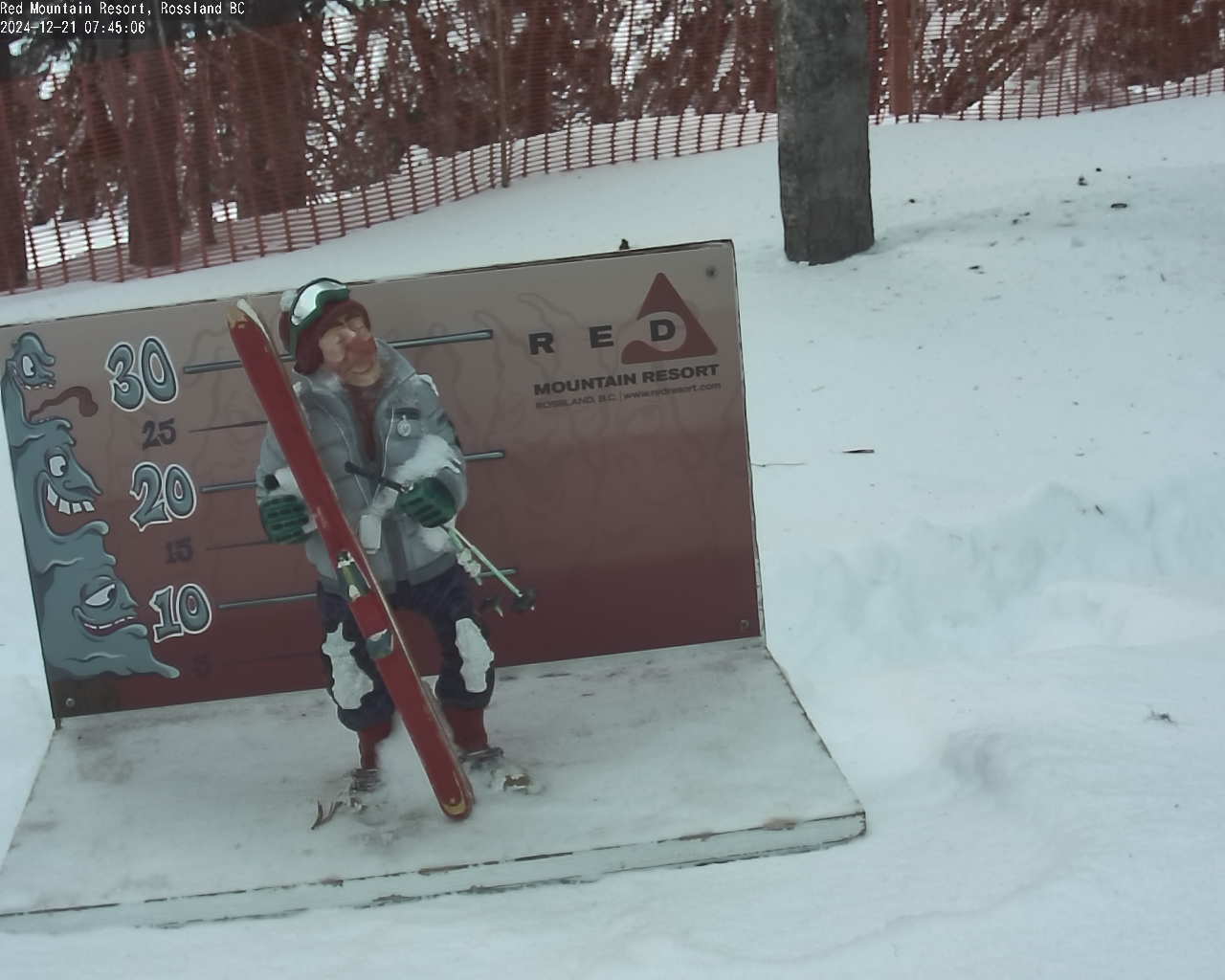
The total snow is 145 cms. in the Alpine with 7 cms. new snow overnight.
Monday sees on and off light snow throughout the day under cloudy skies with slightly warmer temperatures. Looks like Tuesday will bring snow in the early hours totalling 10 to 15 cms. with daytime temperatures much the same as Monday. Wednesday brings cooler weather and another system that arrives about lift opening and continues throughout the day with increasing intensity and continuing into Thursday. Merry Christmas!
Today’s weather highlight is NOAA’s Winter Outlook
Avalanche Forecasts
Avalanche Canada’s – Mountain Weather Forecast
North West Avalanche Center’s – Mountain Weather Forecast
Association of Canadian Mountain Guides – Mountain Conditions Reports
Arctos Guides – Powder Highway Backcountry – Nov. 22 Conditions Report
Environment Canada
December 23, 2024, A.M. Report
Paulson Summit to Kootenay Pass.
Today .. Periods of snow ending near noon then cloudy with 40 percent chance of flurries. Amount 2 cm. Snow level rising to 1200 metres this morning.
Tonight .. Mainly cloudy. Snow beginning overnight.
Tuesday .. Snow ending in the afternoon then cloudy with 60 percent chance of flurries. Amount 5 to 10 cm. Snow level near valley bottom.
Graphical Forecasts
Windy.com – Precipitation/Wind/Pressure Overlay 10 day Forecast
Here is the SpotWX for Red Mountain Resort base elevation over the next three days.

